Geospatial Foundation Models: A New Era for Forest Species Mapping from Space
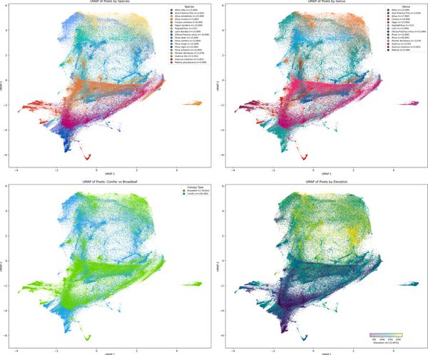
Through the use of Geospatial Foundation Models, it is possible to map 18 distinct tree species across an entire Alpine province from satellite data alone, using less than 5% of the training data that conventional methods do. That is the headline finding from new research published in Science of Remote